The near future is here!
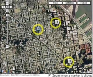 It seems like just a few days ago that I was pining for the near future, where we'd be able to walk down the street and have access to "official" and "unoffcial" information about the buildings and businesses we passed via a handheld device running GeoAnnotation and Collaborative Cartography software. And I thought about it, and looked around on the web for such a thing, and couldn't find anything, so I put together a little presentation on what such a service might look like. And yesterday I get an anonymous comment on my ARGaming blog that such a thing already exists. It's a feature offered by Navizon.
So this is good. Right? I mean, it's what I've been excited about for the last few weeks, when I might have been studying for prelims (of course, I'd argue that knowing about such things has a direct relation to 'being prepared' for prelims).
I guess I can let it go for now -- it's in good hands. Maybe I'll even download a FREE copy of it and try it our myself (after prelims).
posted by Unknown @ 10:39 AM
0 comments
![]()
![]()
0 Comments:
Post a Comment
<< Home